-
 Imaging Solutions for Multiple Purposes
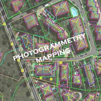
 We are a trusted provider of photogrammetry services for AT, DTM/DSM, large-scale mapping, and orthophoto generations.
 -
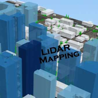
 Advance Imaging Solutions for Multiple PurposesWe are providing of high resolution, top quality, cost-effective LiDAR Mapping Services.
 -
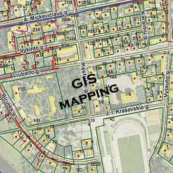
 We are a world leader in GIS MappingThe most common use of a GIS is is to produce data visualizations in the form of a map.
 -
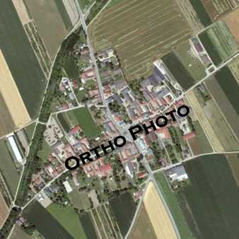
 Advancement Through New TechnologyOur Orthophoto Production services include Ortho-mosaicking, Color Balancing, Seam line editing and Tile cutting.
 -
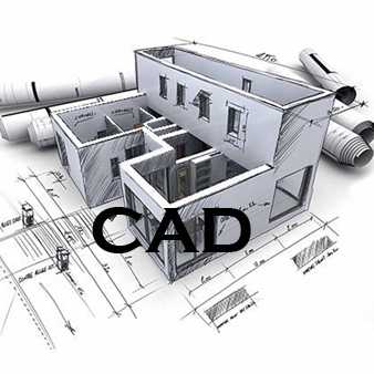
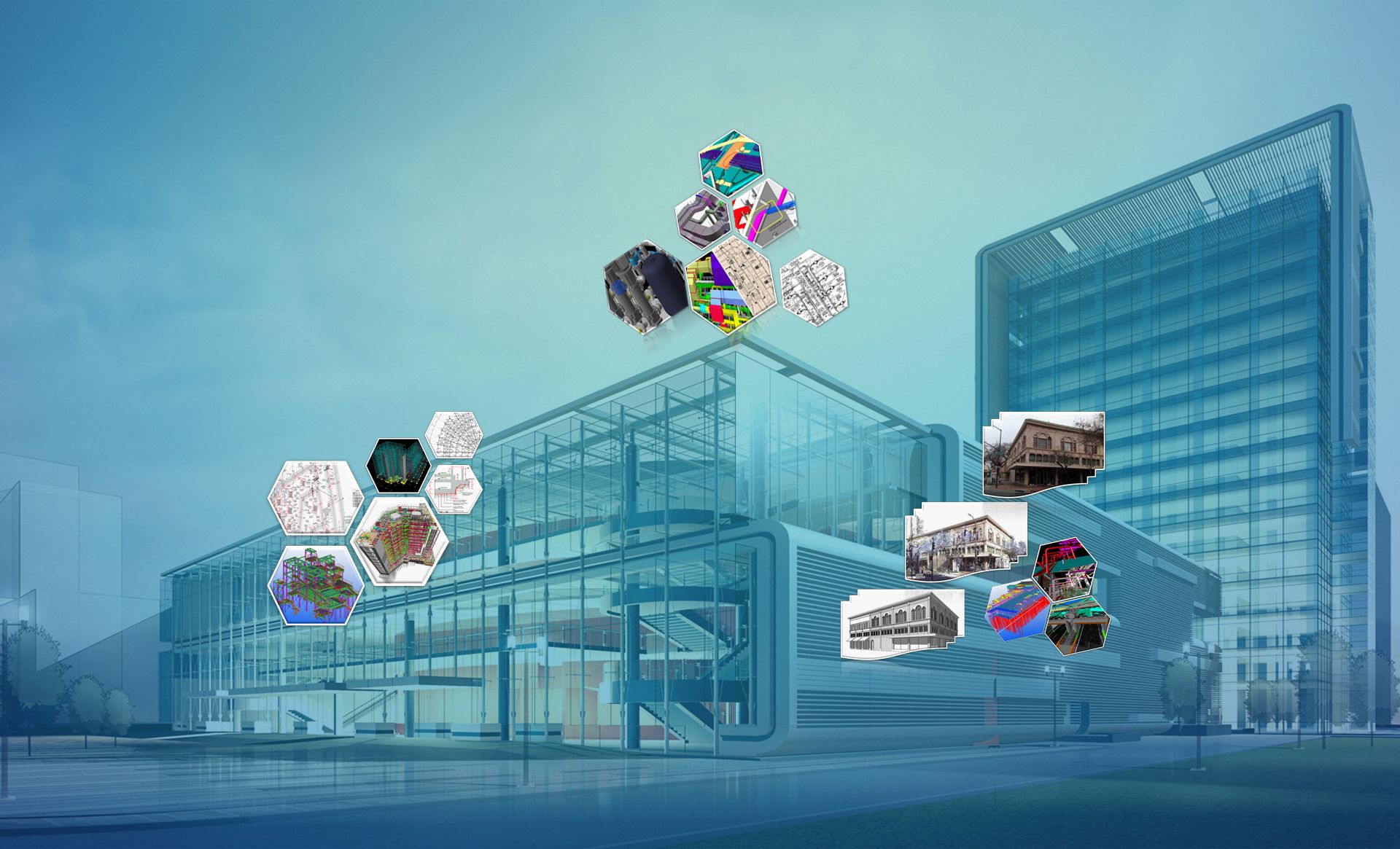 AEC (Architectural, Engineering & Construction)Our core services include BIM studio, Virtual Construction, Content Creation, Scan to BIM and 3D Visualization.
 -
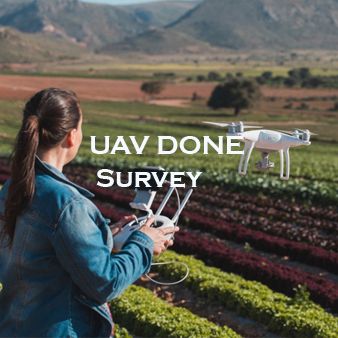
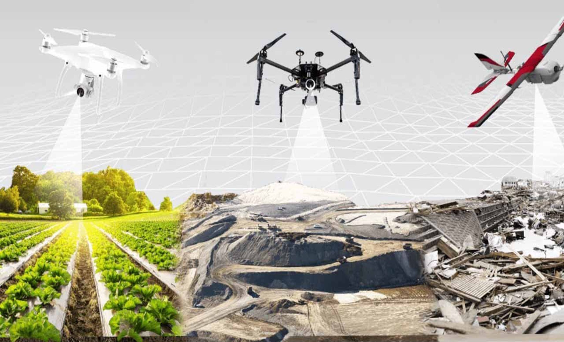 SurveyWE provides provides UAV drone and Airbon LiDAR Drone Survey solutions in INDIA.
 -
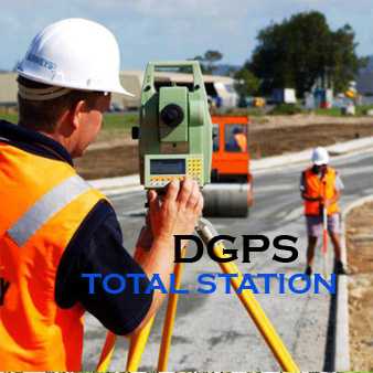
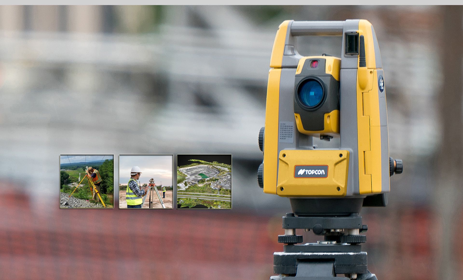 SURVEYWE are providing varied services to the government and private clients, on RTK GPS / DGPS and Total Station surveys
The fastest way to grow your business with the leader in GeoSpatail Check out our service and features included.
Geospatial Mapping
We are having Accurate Innovative Solution For Your Requirments.
We are now introducing MAPe IT Solutions to provide complete solutions on geographic mapping And Survey (DGPS/UAV and Airbon LiDAR) location-based services and related geo spatial technologies in innovative way that promise to transform how we do and how we do it.
 Strategy
 Planning
 Build
Build
Our Services

AERIAL TRIANGULATION
Aerial Triangulation is the process of contiguous densifying and extending ground control through computational means.

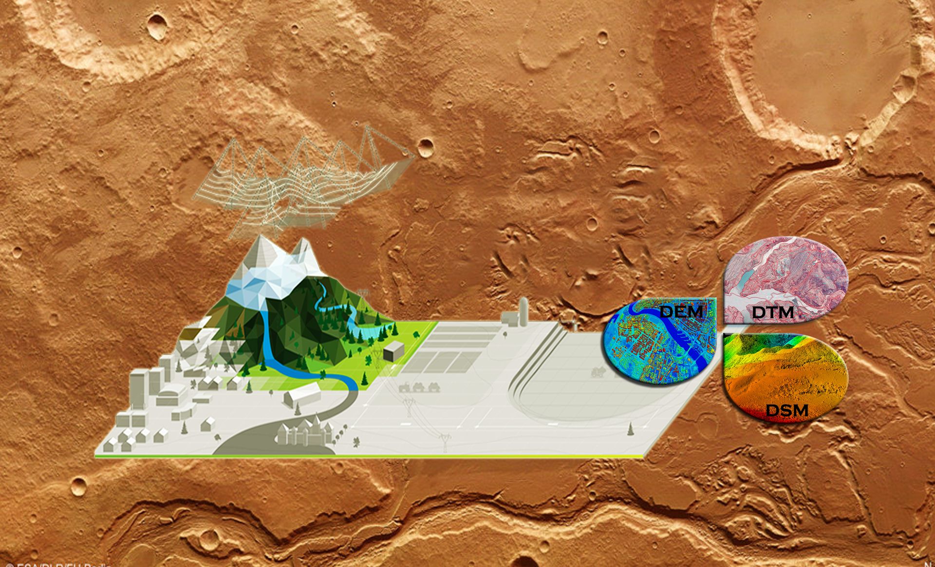
DTM / DEM
A DTM is a three dimensional representation of a terrains surface whereas a DEM is a subset of DTM characterized by a regular spaced grid of points representing the terrain..

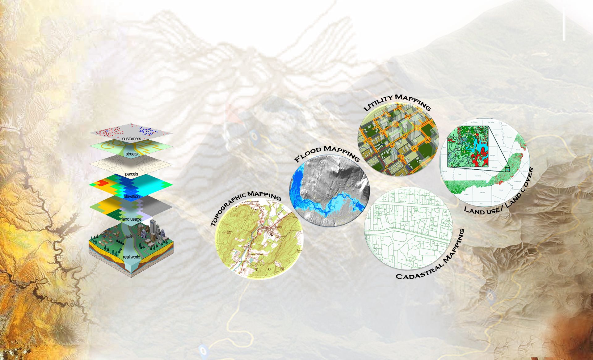
Planimetric Mapping
Planimetric mapping is used in representing the features of the earth's surface in three dimensions (3-D).

Topographic Mapping
A topographic map is a detailed and accurate two-dimensional representation of natural and human-made features on the Earth's surface.

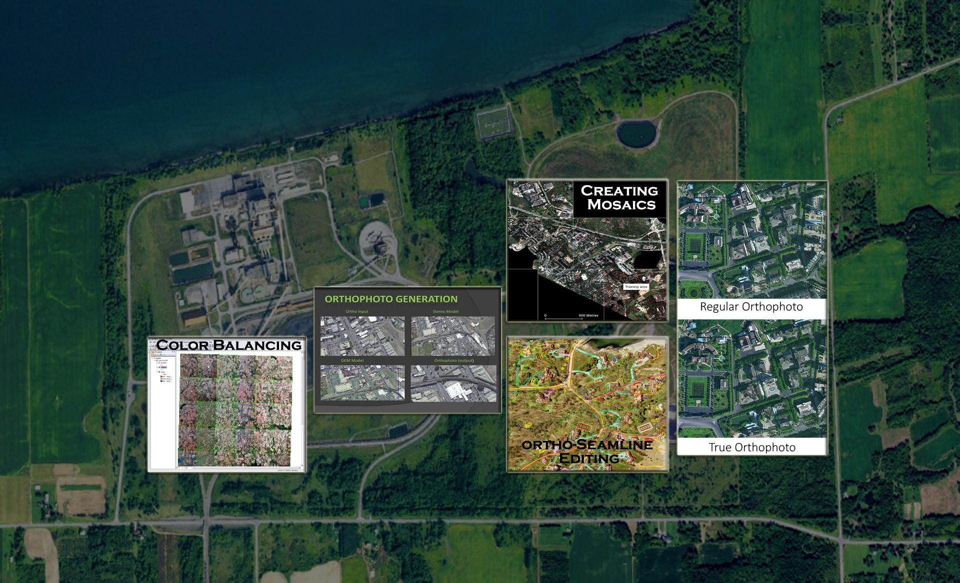
Orhto Image Processing
Digital orthophoto is the process of removing the distortion within an image caused by terrain relief and the camera.

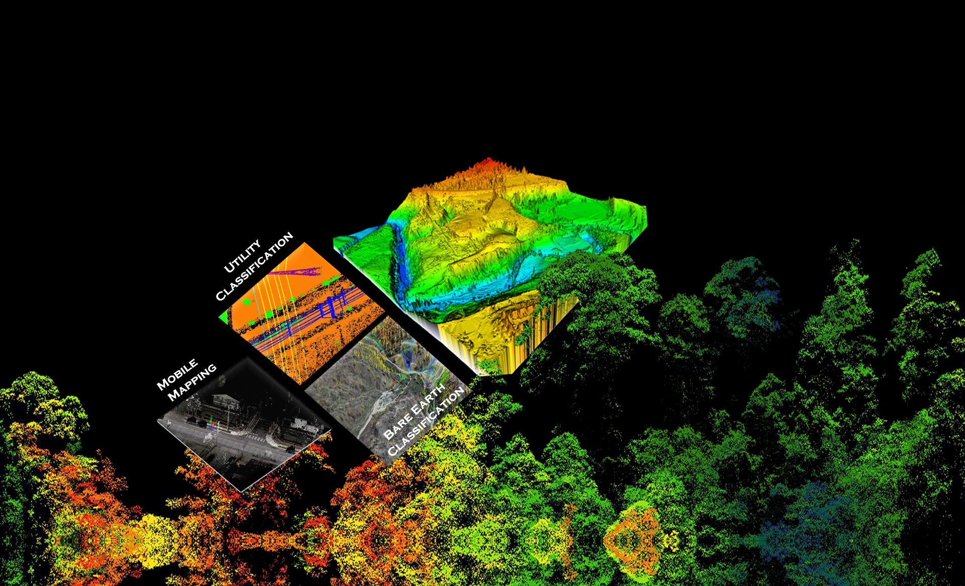
LiDAR/ Mobile LiDAR Mapping
LiDAR data is directly processed to produce detailed bare earth models in a variety of formats including LAS, ASCII, ESRI and CAD.

Utility Mapping
Utility mapping services basically deals in the network of electrical, water, gas, sewage & telecom. Utility mapping cover quite a few sections such as system modeling.

Cadastral Mapping
The cadastral map shows the boundaries of each cadastral unit, along with the extent of all registered rights.

Land use/ Land Cover
Land use and land cover mapping is a process that quantifies current land resources into a series of thematic categories, such as forest, water, and paved surfaces.

DGPS/TOTAL STATION SURVEY
We are offer different types of Surveying such as Topographic Survey, Mining Survey, Contour Survey, Route Survey, Land Survey, Road Survey, Rail Survey, Transmission Line Survey, Smart City Survey, Cadastral Survey, Levelling Surveying.

Aerial/ UAV DRONE
Engineers, drone pilots, GIS experts, and software developers make up the Mape IT Solutions team, which has provided India with a number of drone solutions.

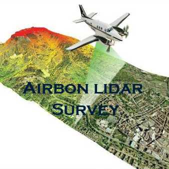
Airborne Aerial Lidar
We deal with mobile and airborne Lidar survey technology, where a Lidar camera is mounted on a mobile vehicle or a UAV drone.