Home
About Us
Company Overview
How We Work
Quality
Data Privacy
Outsourcing
MAPPING SERVICES
Digital Photogrammetry
LiDAR/Mobile LiDAR
Ortho Photo Mapping
GIS Mapping
CAD
BIM
SURVEY WE DO
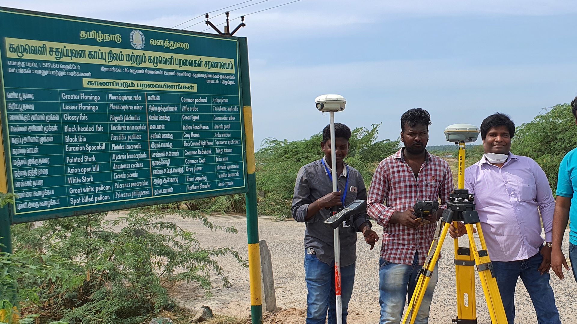
DGPS / Total Station Survey
Aerial & Drone Survey
Airborne LiDAR Survey
INDUSTRIES
Forestry sectors
Mining sectors
Railway sectors
Telecom sectors
OIL & GAS
GALLERY
Picture Gallery
VIDEOS
Blog
Contact US
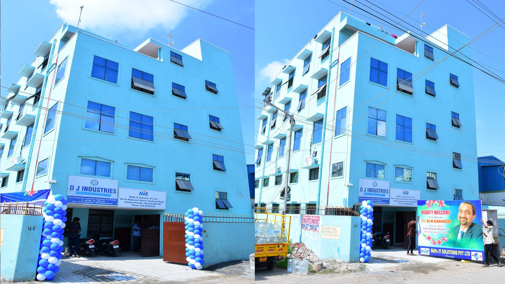
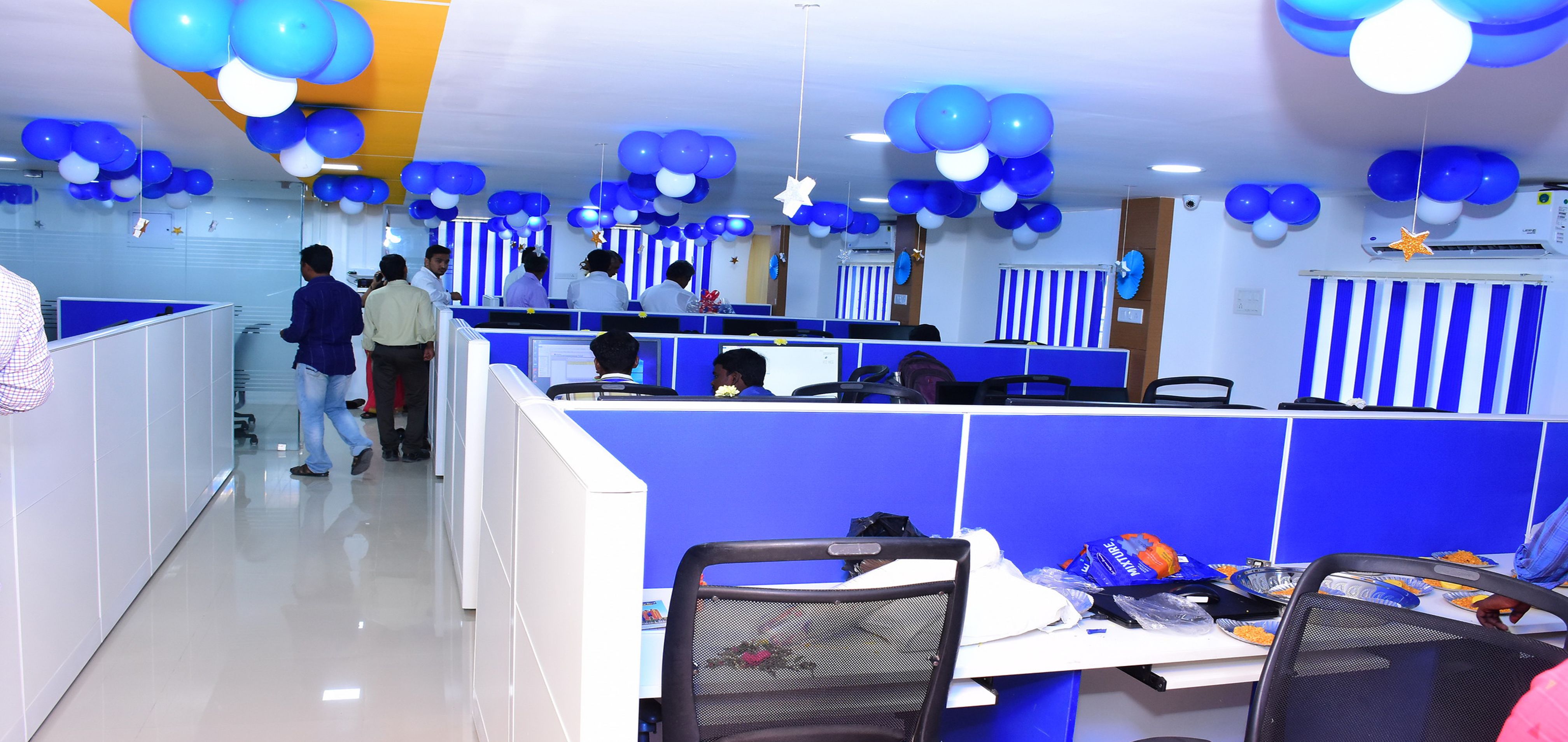
MAPe IT Solutions
Together we achieve more
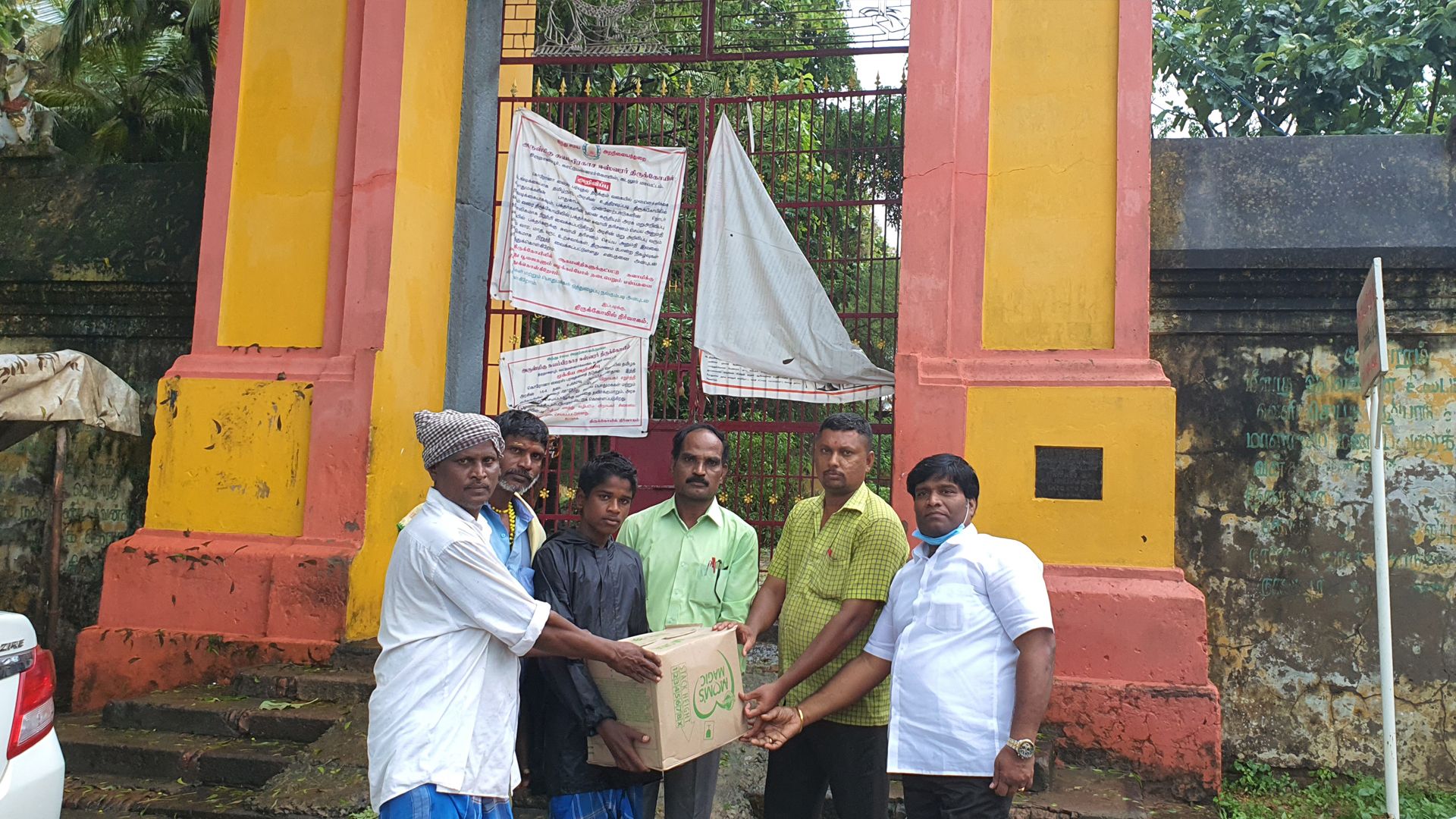
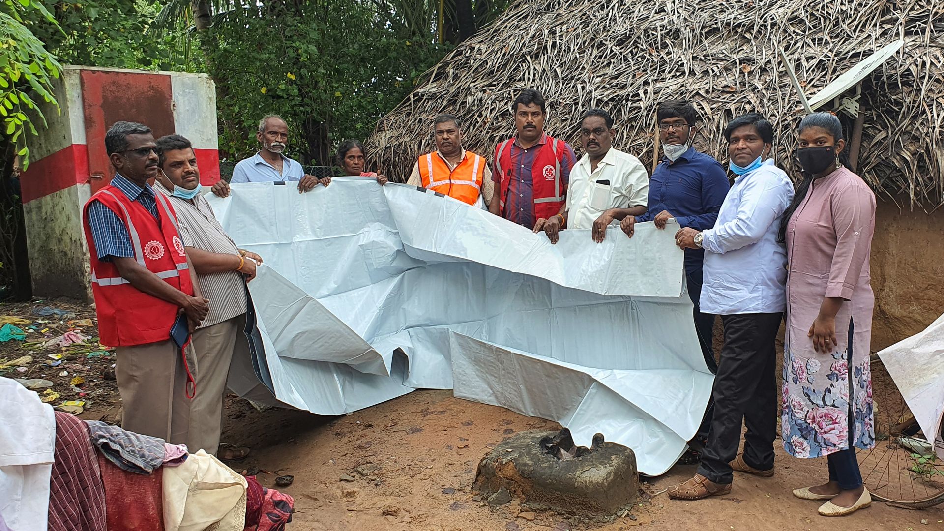
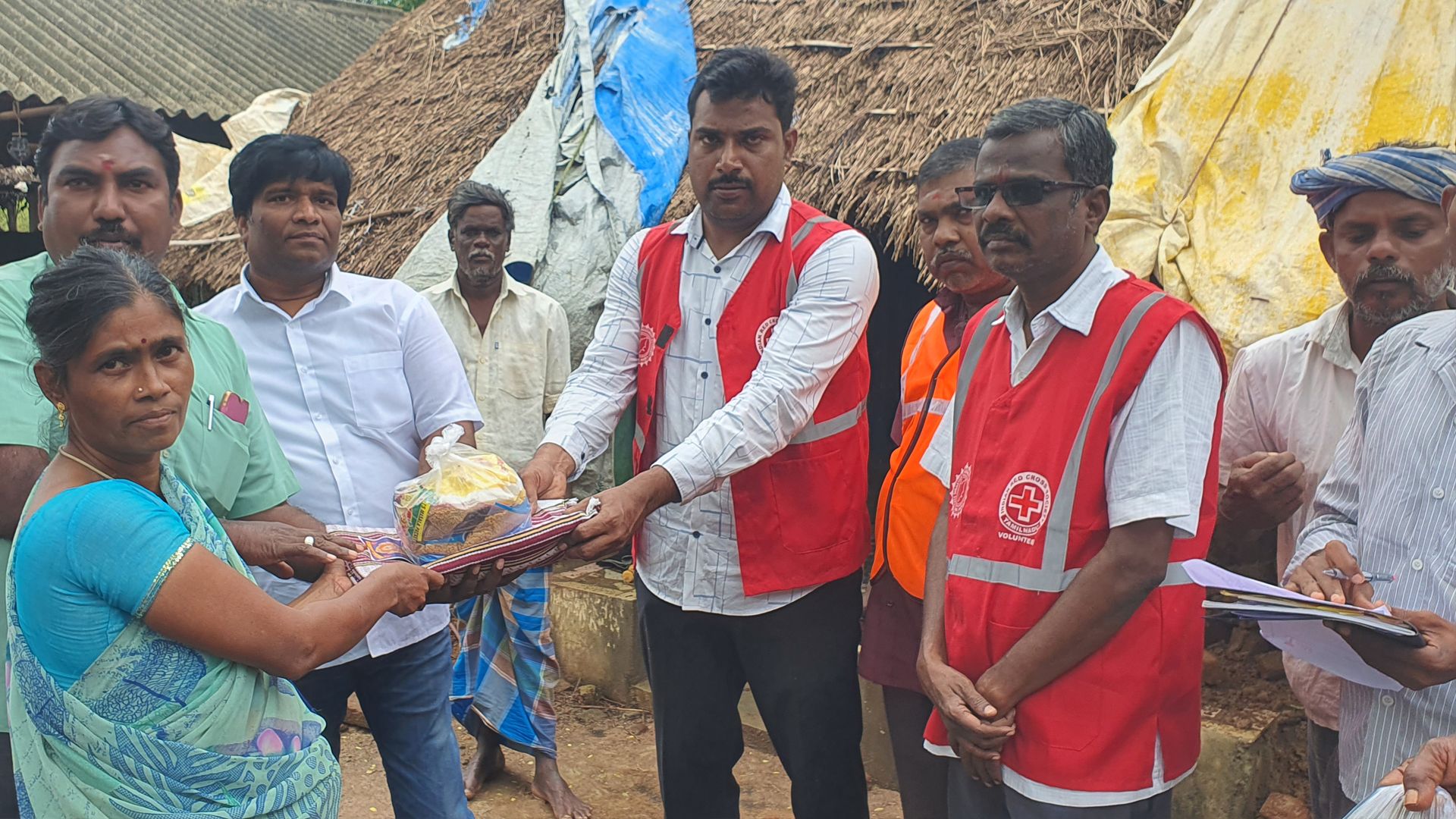
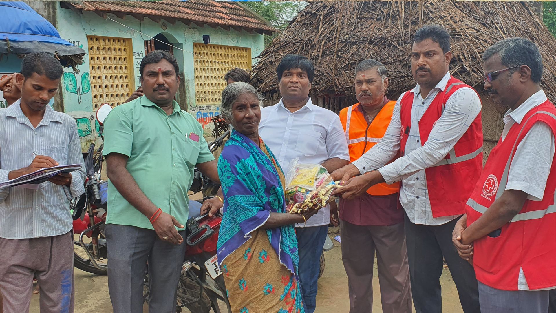
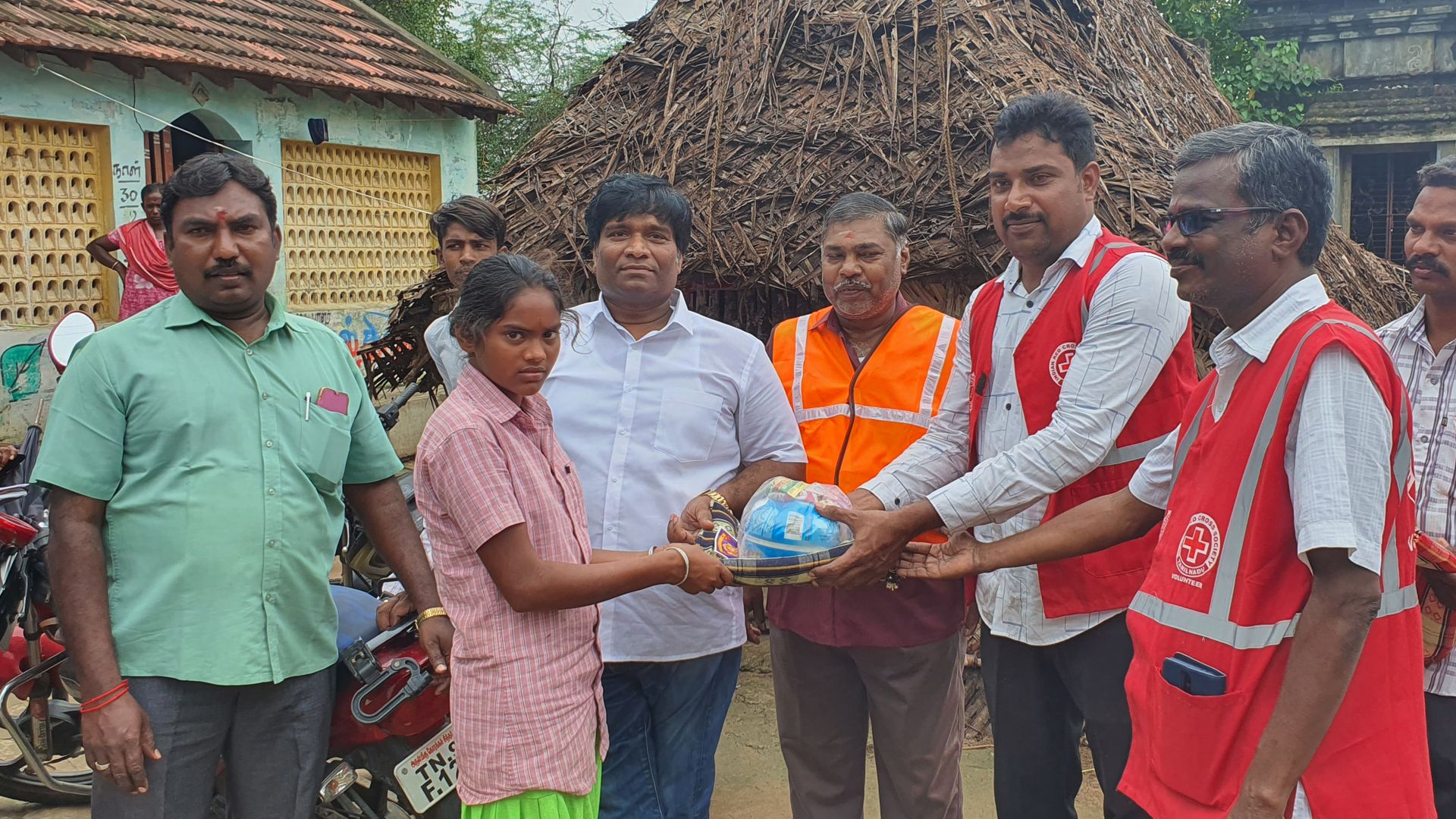
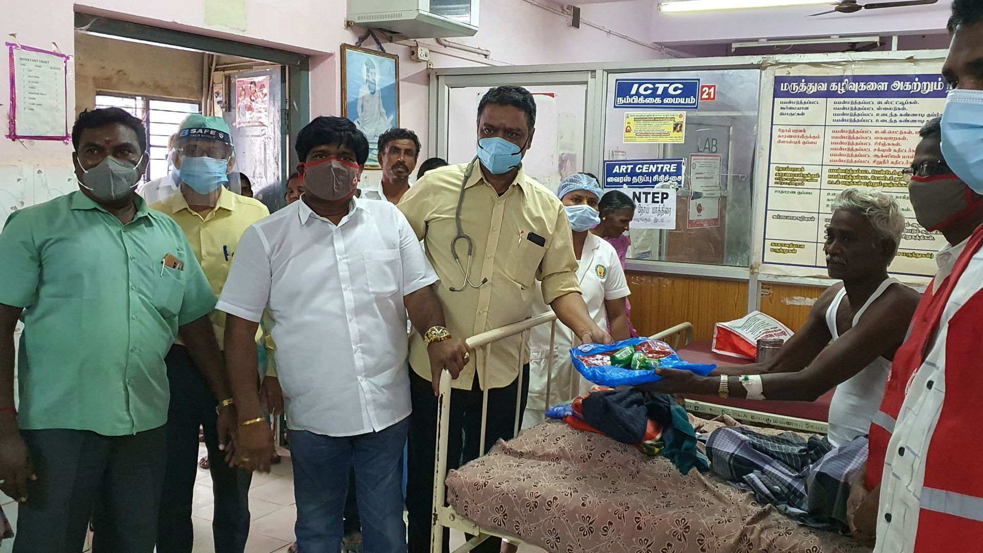
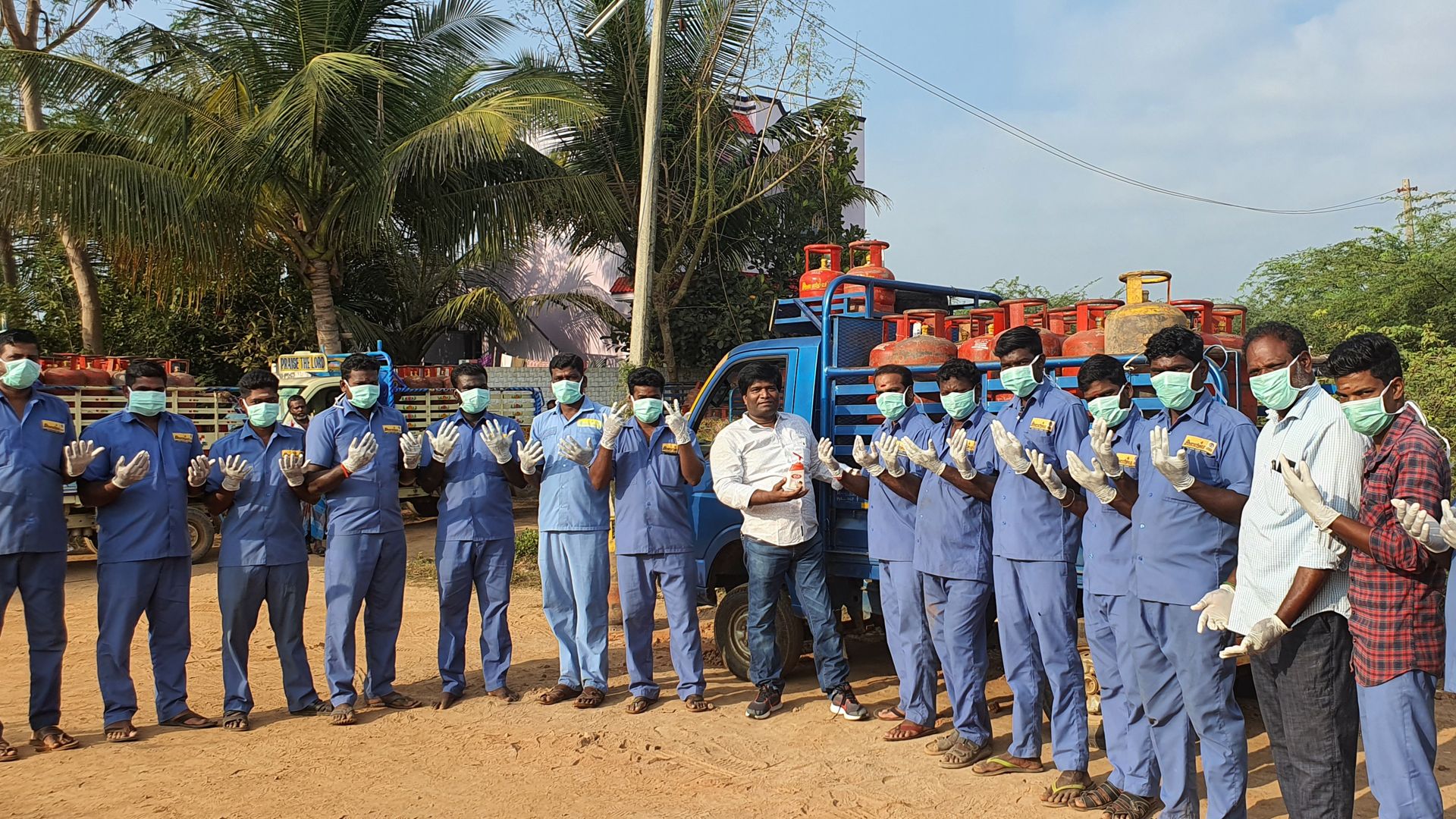
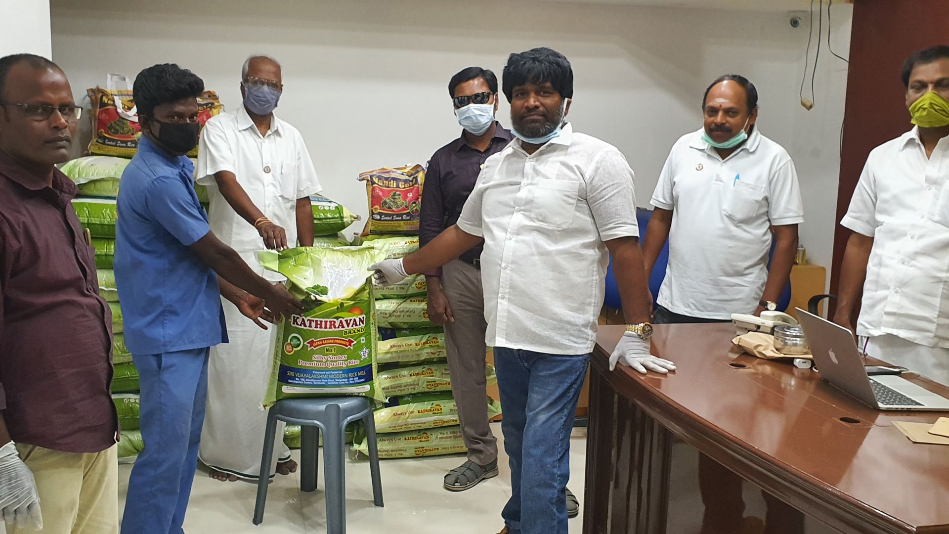
Our Social Work
The world is changed by your example, not by your opinion